Free word search
Category
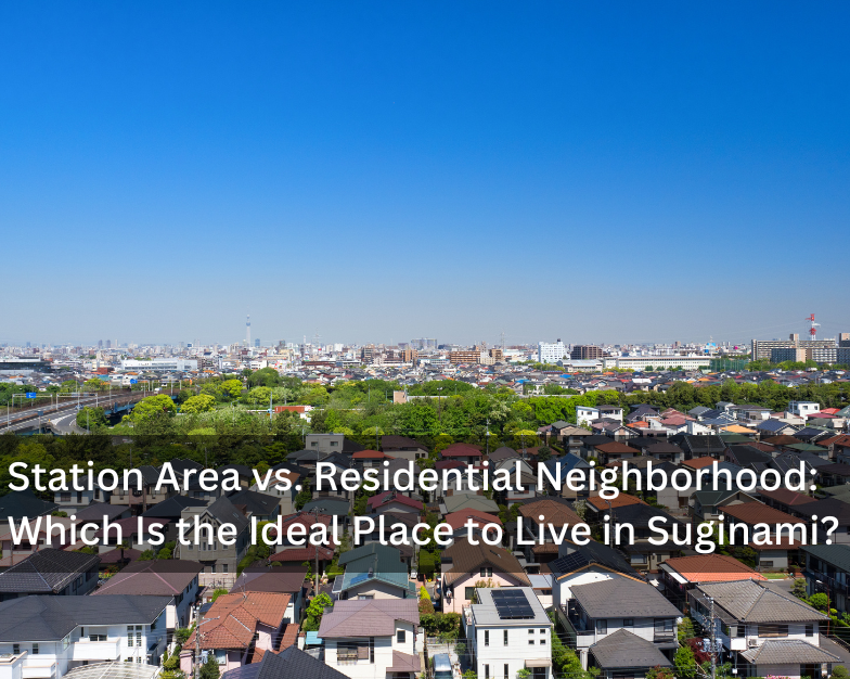
Disaster Risks and Property Selection: Peace of Mind with Hazard Maps
2025.10.09
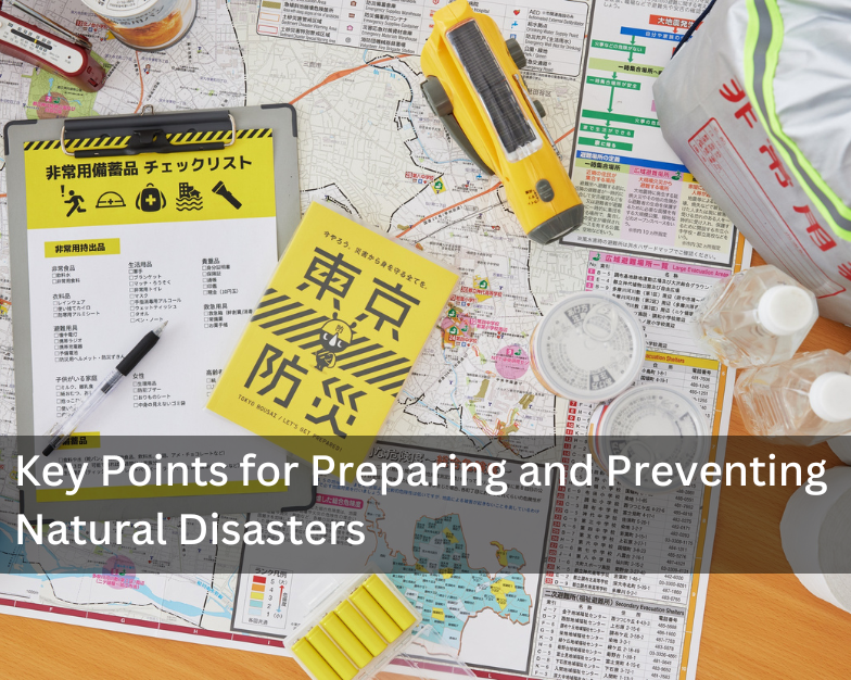
Japan is prone to earthquakes and, in recent years, has also faced frequent flooding. When choosing a property, it is important to consider not only convenience for commuting, school, or daily life, but also potential disaster risks. In this column, we take a look at hazard maps and other essential information that can help you live with greater peace of mind.
Hazard Maps and Evacuation Sites: What Renters Should Know
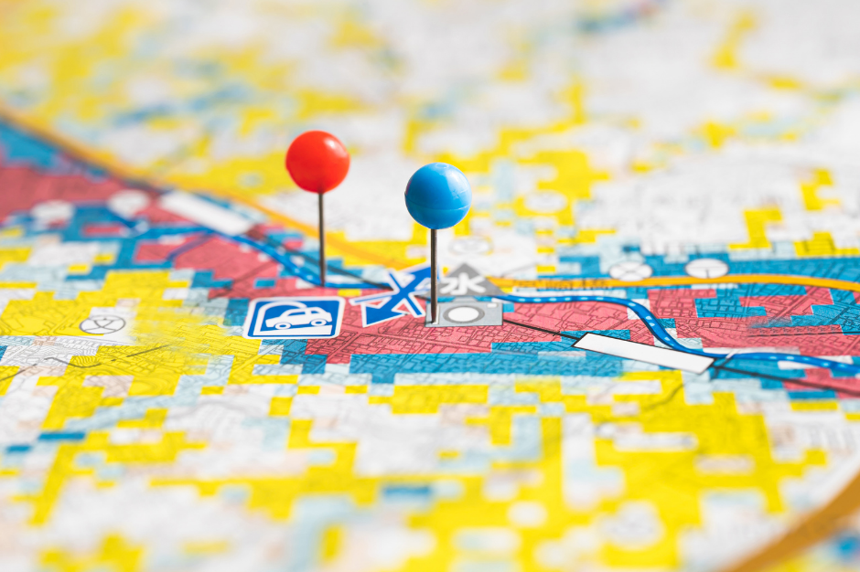
A hazard map is a type of disaster-prevention map that shows areas expected to be affected by natural disasters as well as the locations of evacuation sites and other related facilities. These maps are designed to reduce damage and improve disaster preparedness. Sometimes, maps that focus specifically on evacuation routes and actions are distinguished as “disaster-prevention maps.”
Hazard maps are generally created and published by local governments. They typically display expected risks from disasters such as floods, volcanic eruptions, earthquakes, storm surges, tsunamis, and landslides, along with evacuation site information, all layered on a single map.
While property owners are responsible for the building itself, renters are generally not financially liable for structural damage caused by disasters. However, tenants are responsible for protecting their personal belongings, usually through fire insurance or similar coverage. Each insurance policy has conditions, and damages such as floodwater ruining electronics may not always be covered. In disaster-prone Japan, it is important to consider not only protecting your belongings, but also ensuring the safety of yourself and your family when selecting a property.
It is also worth remembering that mobile phone networks may fail during a disaster due to accidents or congestion. Knowing in advance where to evacuate is essential.
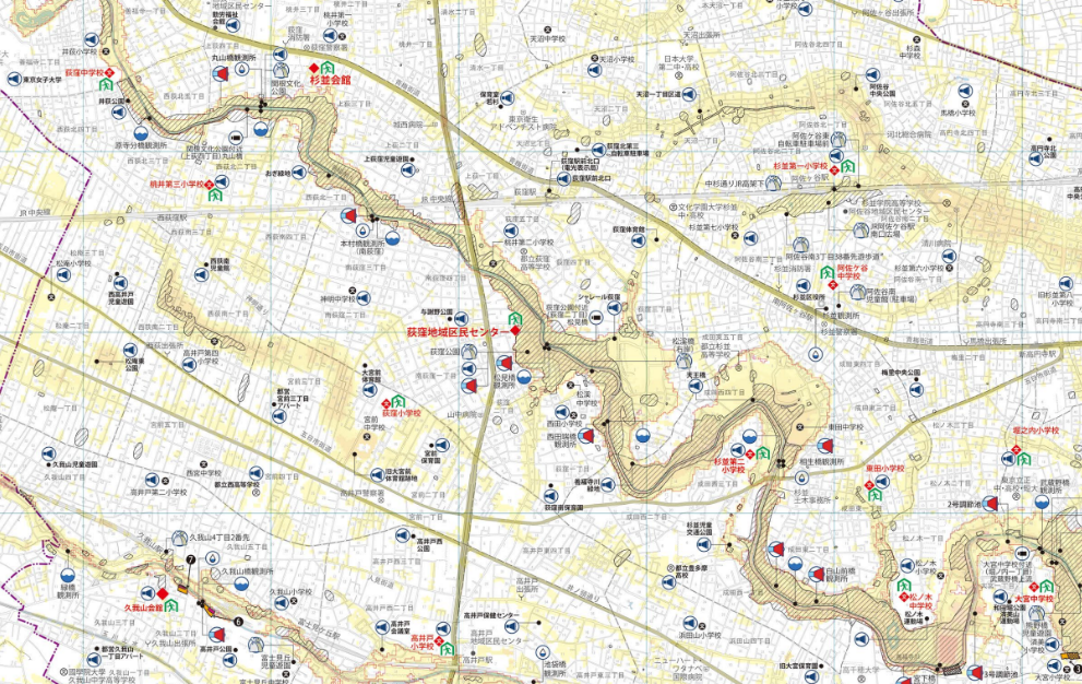
Source: Suginami-ku
High Ground vs. Low-Lying Areas: Balancing Rent and Risk
When comparing high ground with low-lying areas, hazard levels and rental costs often differ. High ground tends to be safer and is often home to upscale residential neighborhoods, which makes land prices and rental costs higher.
On the other hand, low-lying areas may be more vulnerable to flooding or tsunamis but often offer greater access to city centers and public transportation. This means not all low-lying neighborhoods have lower rents. When searching for a property, it is important to balance disaster risk, everyday convenience, and cost. Checking hazard maps and understanding the specific risks of an area will help you make a more informed decision.
How to Check Hazard Maps
Hazard maps are available online and sometimes distributed in booklet form by local governments. To find one for your area, search for terms like “〇〇 City Hazard Map” to access your municipality’s official version. Note, however, that map formats vary between municipalities, and in some cases, they may be divided by disaster type or may not be available online if still in preparation.
Two useful online resources are:
“Kasane-ru Hazard Map” (Overlay Hazard Map) by the Geospatial Information Authority of Japan, which allows you to search by address and overlay multiple risks such as floods and tsunamis on a single map.
“Wagamachi Hazard Map” (My Town Hazard Map), which provides links to local government hazard maps nationwide.
The Overlay Hazard Map works smoothly on smartphones and is generally the most convenient tool to use.
Related Articles